Agafay Desert: Stone Desert, Atlas Views and Glamping Camps Near Marrakech
The Agafay is a stony plateau 40 km from Marrakech with desert camps, camel rides and the Atlas on the horizon. What it is, and how it differs from the Sahara.
Guides to the places on our routes: Merzouga and Erg Chebbi, Erg Chigaga, Agafay, Aït Benhaddou, the Dadès and Todra gorges, Marrakech, Fes, Chefchaouen and the coast.
Where we go
The Agafay is a stony plateau 40 km from Marrakech with desert camps, camel rides and the Atlas on the horizon. What it is, and how it differs from the Sahara.
Aït Benhaddou is a fortified village of earthen buildings on the old caravan route, a UNESCO World Heritage site since 1987. The best light, the best viewpoint and our advice.
Casablanca is the main gateway for flights from North America, with the Hassan II Mosque; Rabat is the calm capital. How they fit the start of a Morocco circuit.
Chefchaouen is a mountain town of blue-washed walls in the Rif, 200 km from Fes. The best hours, the crowds and a route that includes it.
The Dadès Valley runs from Boumalne Dadès into the High Atlas, with red cliffs, the Monkey Fingers rock formations and a hairpin road that is a favorite with photographers and cyclists.
Erg Chigaga is the biggest dune field in Morocco, reached by 4x4 from M’Hamid. Quieter and darker than Merzouga: how to get there, when to go and what it is like.
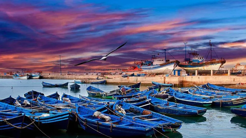
Essaouira is a fortified port town on the Atlantic coast, 175 km from Marrakech, with a UNESCO medina, a fishing harbor and constant wind. Why we use it for photography and gentle cycling.
Fes el-Bali is one of the largest car-free medinas in the world, a UNESCO site since 1981. The tanneries, madrasas and workshops, and how to photograph them well.
Imlil is a mountain village at about 1,740 m, the starting point for Toubkal (4,167 m). Terraced fields, stone villages and snow peaks, an hour and a half from Marrakech.
Marrakech is the starting point of most of our desert, photography and bike tours: what to see, when to go and how to use a day or two before you head south.
Erg Chebbi is the dune field at the edge of the Sahara near Merzouga, with crests up to about 150 m. When to go, what to do and how we photograph and ride there.
Ouarzazate is the gateway town to the south, with the Taourirt Kasbah and film studios, and the palm grove of Skoura a short drive away.
South of Agadir, the Anti-Atlas around Tafraoute has pink granite boulders and almond valleys, and the coast at Legzira has a red sea arch.
The Draa is Morocco’s longest river and its valley a ribbon of palm groves from Agdz to M’Hamid. How it fits into a desert or bike tour.
The Tizi n’Tichka is the main road over the High Atlas from Marrakech to the south, at 2,260 m. What the drive is like, the best stops and how we cycle it.
The Todra Gorge near Tinghir is a narrow canyon with walls of roughly 300 m. When the light works, what to walk, and the palm oasis of Tinghir.